Maps depicting likelihood of shore protection along Florida's Atlantic coast
From a new article in Environmental Research Letters
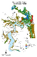
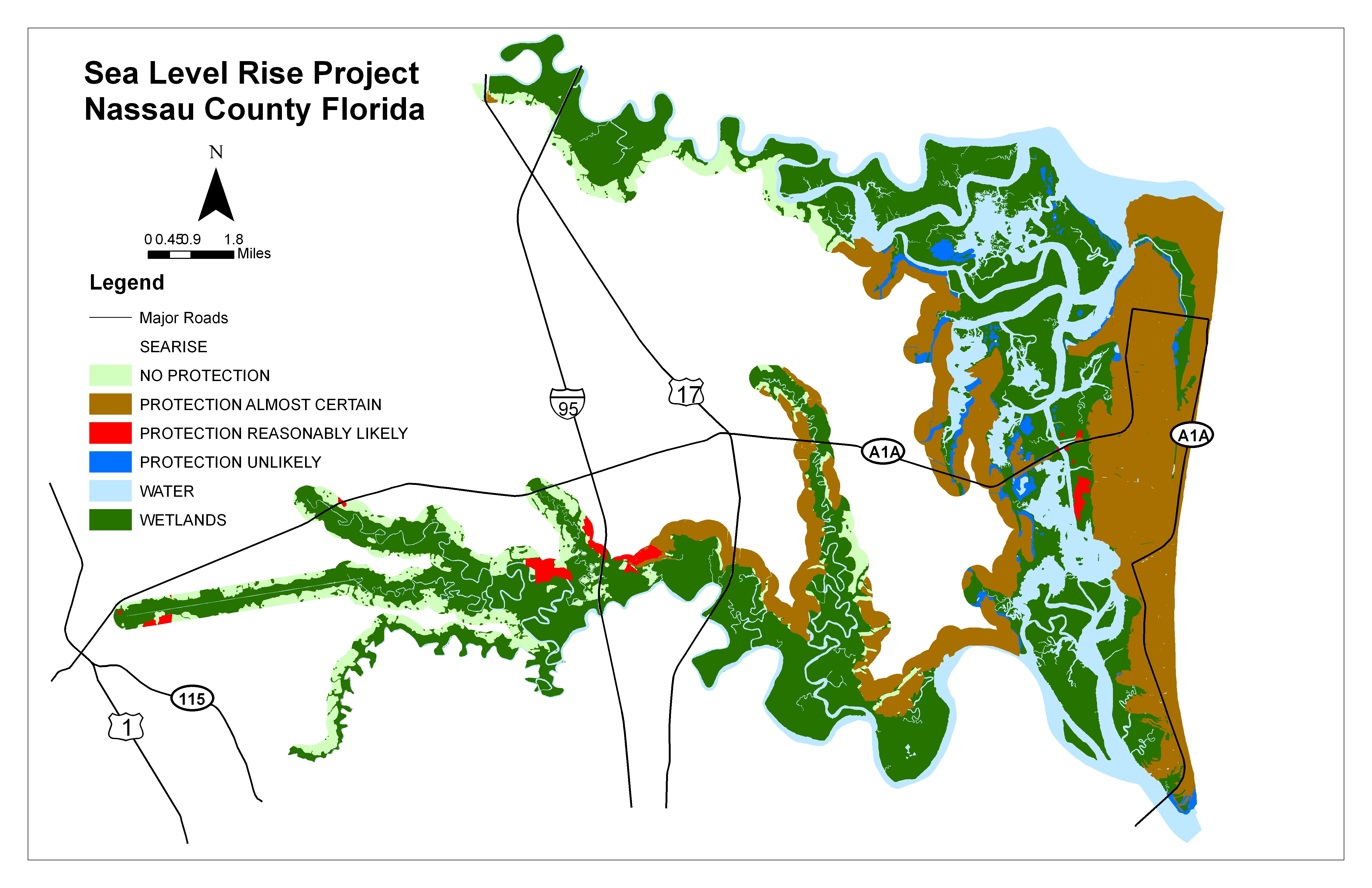
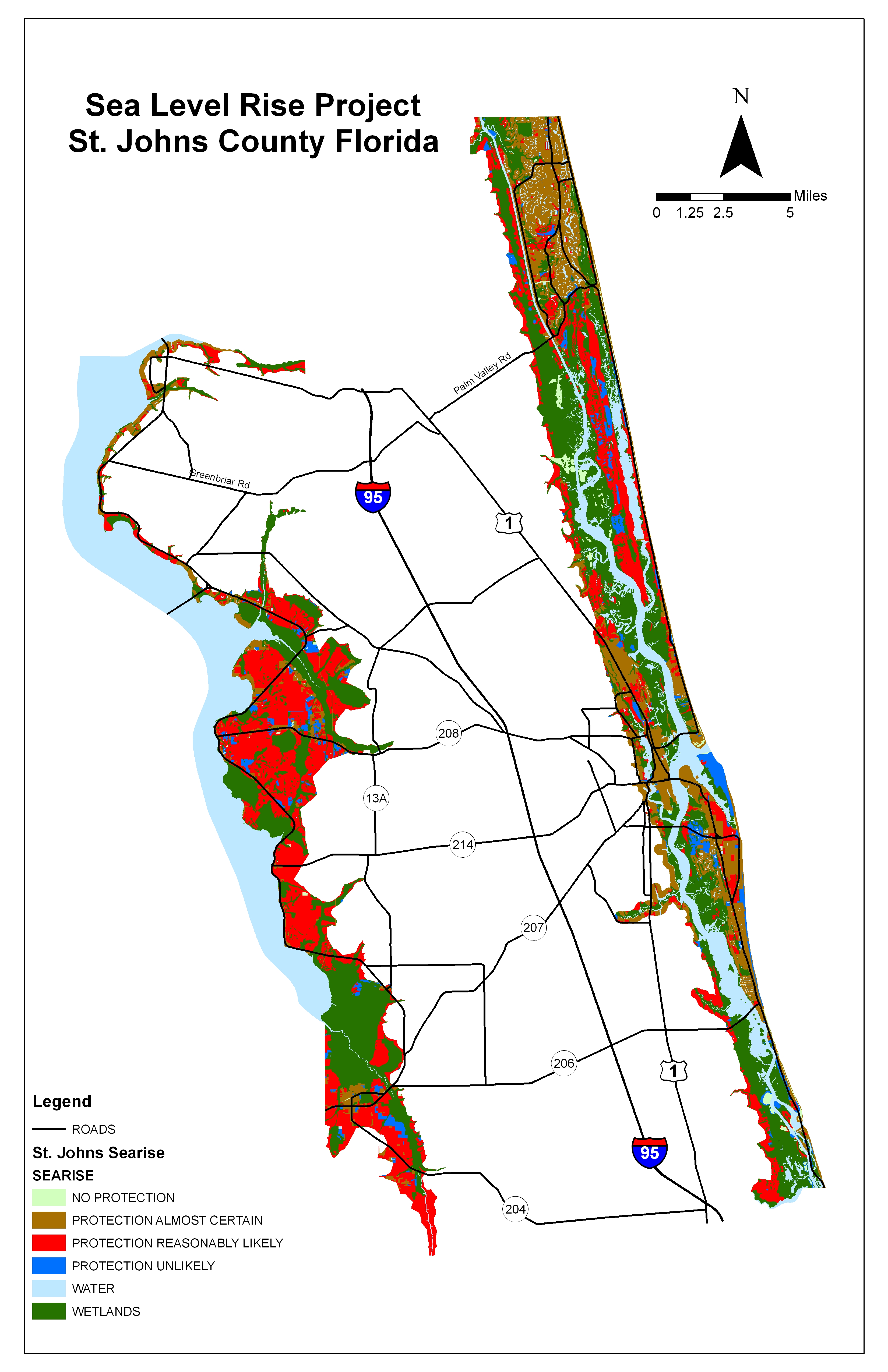
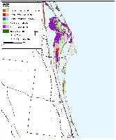
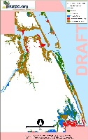
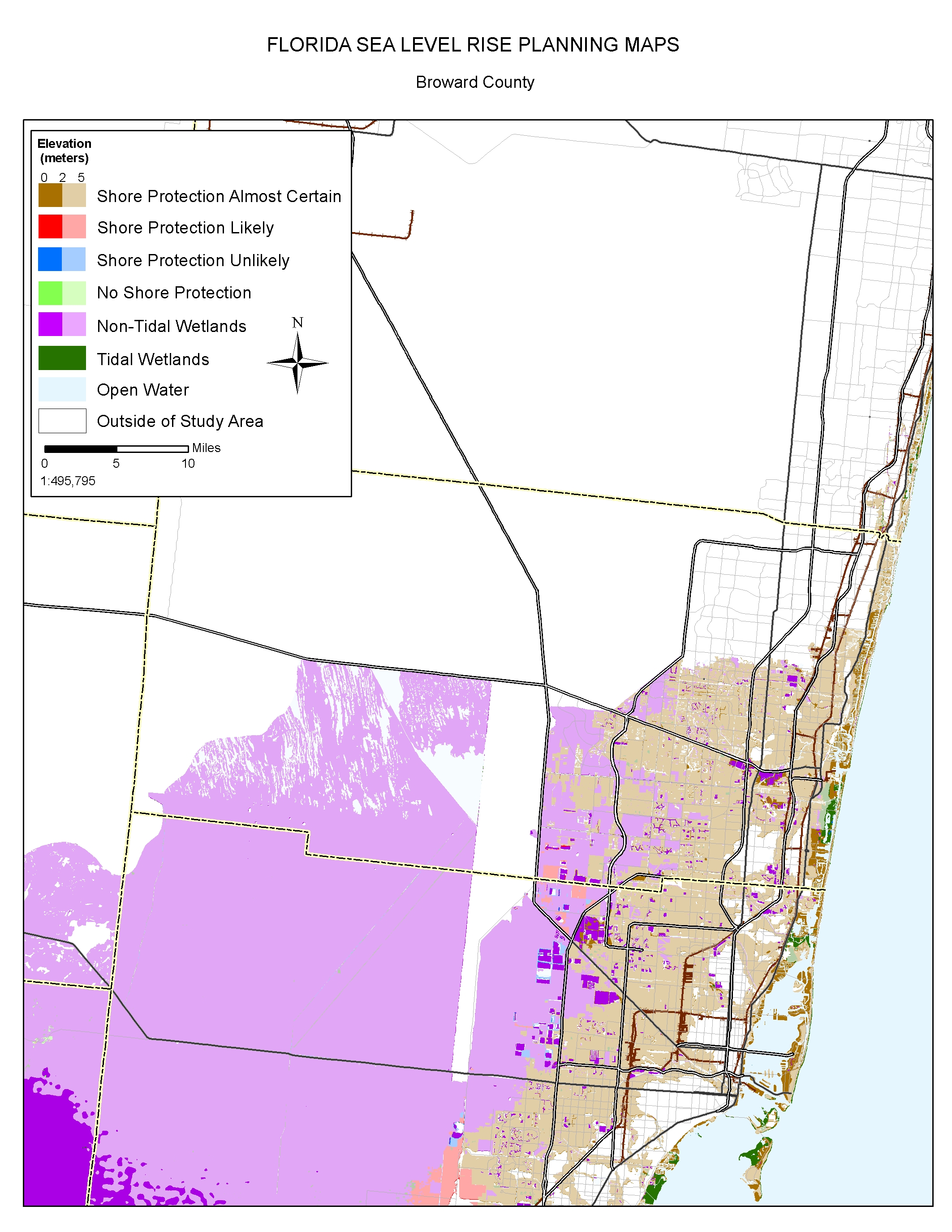
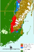
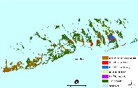
A $2 million effort to map the likelihood of shore protection as sea level rises is summarized in a new article entitled "State and local governments plan for development of most land vulnerable to rising sea level along the U.S. Atlantic Coast." The maps divide coastal low lands into four categories: developed (shore protection almost certain), intermediate (shore protection likely), undeveloped (shore protection unlikely), and conservation (no shore protection). The Florida portion of the study was led by Dan Trescott of the Southwest Florida Regional Planning Council. The actual mapping and analysis was carried out by six different regional planning councils. This website provides summaries of the separate studies conducted by the Northeast Florida, East Central Florida, Treasure Coast, and South Florida regional planning councils. We will add summaries for Southweast Florida, and Tampa Bay soon.
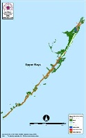
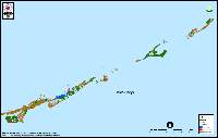
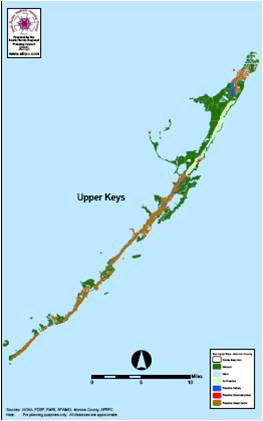
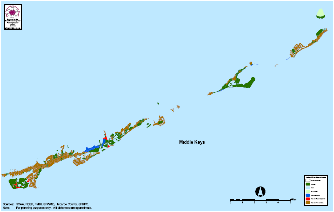
The Atlantic coast of Florida is extensively developed, and development is proceeding along the barrier back bays and tidal rivers. Conservation lands and privately owned lands likely to remain undeveloped account for a very small fraction of lands vulnerable to sea level rise, except for Miami-Dade and Monroe counties. The majority of low land in Miam-Dade county is part of the Florida Everglades. Although much of the original Everglades has been developed, shore protection is very unlikely for the remaining Everglades. Monroe County limits development very strictly along the Florida Keys with a point system that allows only a few vacant lots to be developed each year.
The article in Environmental Research Letters focussed only on the Atlantic Coast, but this web page will soon include maps for Southwest Florida and Tampa Bay. Some of the maps from this study can be downloaded individually by clicking on a thumbnail map below; the entire set is also available in a zipped file. The jpg maps were designed for printing at 300 dots per inch on 8-1/2 X 11 inch paper. If you simply click on the links below and try to read them on your computer screen, some of them may look strange, depending on your internet browser. If so, please save the jpg map onto your computer's hard drive and then open the file with the program you normally use to read jpg files.
|
The Whole Kitten Kaboodle |
The Mother Load of Maps |
||
|
|
|
